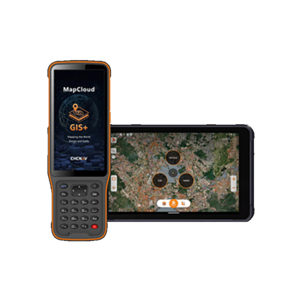
MapCloud is CHCNav’s field-proven GIS data capture and mapping app, designed specifically for Android tablets and data collectors. Built for professionals in pipeline management, forestry, utilities, and municipal infrastructure, MapCloud integrates smoothly with CHCNav GNSS receivers to deliver precise, high-efficiency field workflows.
It supports a wide range of formats—including SHP, DWG, DXF, KML, TIFF, and WMS—ensuring full compatibility with existing GIS ecosystems. Cloud-based tools, project sharing, and real-time collaboration help teams manage multi-site operations with ease. Its intuitive interface, customizable layer templates, and built-in tutorials ensure quick adoption across all experience levels.
From attribute-rich mapping to complex feature collection and coordinate stakeouts, MapCloud is engineered to maximize field productivity and simplify geospatial data management.