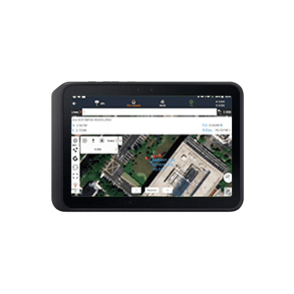
LandStar 8 is CHCNav’s trusted data collection software for Android-based field controllers and GNSS receivers. Designed for both beginner and advanced users, it combines intuitive workflows with high-performance tools to simplify everything from construction layout to topographic surveys and GIS data collection.
With support for CAD file rendering, real-time GNSS integration, advanced stakeout functions, and 3D mapping, LandStar 8 helps survey crews stay productive in the field. Its MetaCAD™ graphics engine opens large DWG and DXF files in seconds, while cloud connectivity allows for seamless project backup, collaboration, and remote support.
Built for flexibility, the app offers modular menus, multilanguage support, and full compatibility with CHCNav GNSS systems. Whether you're mapping roads, marking boundaries, or managing control points, LandStar 8 ensures faster workflows and immediate results in the field.