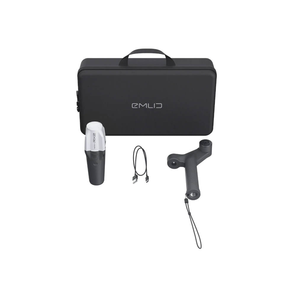
The Pix4D & Emlid Scanning Kit is a mobile terrestrial scanning solution for creating accurate 3D models with a smartphone. The Reach RX2 supplies centimeter-level RTK positioning to PIX4Dcatch through Bluetooth, allowing captured images and LiDAR measurements to be geotagged as the operator moves around the subject. Completed models can be stored, measured, annotated, shared with stakeholders, and exported into GIS, CAD, or BIM workflows. The system is suited for open-trench documentation, construction progress tracking, utility surveys, forensics, and areas that are difficult to capture from a drone.
Reach RX2 provides tilt-compensated positioning with horizontal RTK accuracy of 7 mm + 1 ppm and tracks GPS, GLONASS, Galileo, BeiDou, QZSS, and NavIC signals across 672 channels. The included scanning handle securely carries the receiver and phone in one handheld setup, while the carrying case protects the equipment between projects. This listing includes the Reach RX2, Emlid Scanning Kit hardware, and the stated one-year PIX4Dcatch software package. A compatible smartphone and SP Connect phone case are not included.